So there I was, wilting in the early afternoon sun after many hours of running, 2/3 of the way up a climb that would take me from 9,000' to 12,000'. Powerhiking was draining me; running was out of the question.
Where was I? If you guessed Hope Pass, not quite. However, if you guessed Hope Pass, then you might want to read on and give this loop a shot yourself some day.
Tour de Yale
Silver Creek TH -> Mt. Yale summit via NW Ridge -> Denny Creek TH via SW Slopes (standard route) -> Avalanche Gulch TH via Cottonwood Pass Rd -> Silver Creek TH via Colorado Trail
- 24.5 miles
- 7,570' vertical
- Start 7:01 AM
- End 2:51 PM
- 7 hours 50 minutes
I hatched the idea of doing a circle tour of Yale a few weeks ago, when Cale and I wandered up the lower portion of Yale's
East Ridge route. I liked what I saw; the trail was mellow enough to run and very scenic. I did a little research and realized that I could link up a few trails to create a fat loop that would essentially circumnavigate the entirety of the Yale massif. En route, I would be able to hit at least portions of every feasible route on Yale. In addition, I would also get a chance to go through each of the four trailheads that service this Collegiate Peak. Seemed to me a perfect mix of adventure, training, and challenge, and on May 27th, I made a go for it. My primary goal was to circumnavigate the peak, but I would summit if the opportunity presented itself.
 |
| First part of the day - up Cottonwood Creek to Kroenke Lake (where the red line disappears in the upper left) |
 |
| Early morning on the road between Silver Creek TH and North Cottonwood TH. |
 |
| The North Cottonwood/Horn Fork TH serves mostly those looking to climb Mt. Harvard and Mt. Columbia via their standard routes. However, it also provides access to Mt. Yale from Kroenke Lake to the northwest. |
 |
| The trail along North Cottonwood Creek is in great shape. |
 |
| Bridge across N. Cottonwood Creek. |
 |
| Trail splits - to the right is the trail into Horn Fork Basin. To the left is Kroenke Lake. About a mile up the trail I ran into a guy who had mistakenly turned left instead of right here. |
 |
| There are a couple of smaller crossings over North Cottonwood Creek. |
 |
| Kroenke Lake(~11,500') - definitely worth coming back to. There was one tent up there when I passed. Doesn't seem like there are nearly as many alpine lakes in the Sawatch as the other ranges. |
 |
| Beautiful trail alongside Kroenke Lake as I continued south toward Browns Pass (background) |
 |
| Looking back north toward Kroenke Lake as I began the climb to Browns Pass |
 |
| The NW ridge of Mt. Yale, with the summit poking out in the far center. |
 |
| After some bushwhacking due to the trail being snowed in, I came upon a pretty cool (frozen, even!) alpine pond at 12,200'. |
 |
| Harvard(L) and Columbia(R) in the background. |
 |
| Second part of the day; up Yale's NW ridge, summit, then descend via the SW slopes. |
 |
| Most of Yale's northwest ridge. It's fairly gentle, never exceeding class 2. I had originally planned on just climbing Browns Pass and dropping into the Denny Creek drainage, but I felt pretty good and the ridge didn't look too formidable, so I went for it. This did, however, put me a good mile west of where I would have otherwise gained the ridge. |
 |
| The view of the remaining route from 13,600'. I had gained about 1,200' in the preceding mile. |
 |
| Summit. It was windy enough to hinder one's enjoyment of the surroundings, so I didn't stay long. |
 |
| I was able to make really good time on the really good trail. I saw a total of maybe 50 people on the day; 45 or so of them were on Yale's standard route. |
 |
| A mellow portion of the descent |
 |
| Grove |
 |
| Although it held a slight decline in elevation, I still found the 3 mile stretch of road from Denny Creek to Avalanche Gulch to be one of the more challenging parts of the day. It was hot, I was tired, and I still had a big climb coming up. |
 |
| Down the road, up the trail. |
 |
| 17.5 miles |
 |
| I took a break at the base of the trail to refuel. |
 |
| A quick glimpse at "Mascot Peak", a 13,400ish' sub-peak of Yale. |
 |
| Starting the last climb of the day; in the valley is the road I had come from. |
 |
| Old deadfall at 10,500'. |
 |
| More deadfall. I felt here as if I could dead-fall as well. |
 |
| Lots of recent deadfall throughout the Sawatch. The size of the trees that got blown down by wind this past winter/spring is crazy. |
 |
| At the high point of this section of the Colorado Trail, 12,100 or so. Getting ready to drop back down the other side. |
 |
| A harbinger of things to come - some pretty substantial drifts met me right away. Bummer; there was no snow whatsoever on the south side of the mountain! |
 |
| Deadfall dodging + postholing /= fun. Over 20 miles in and only 4 to go, though! |
 |
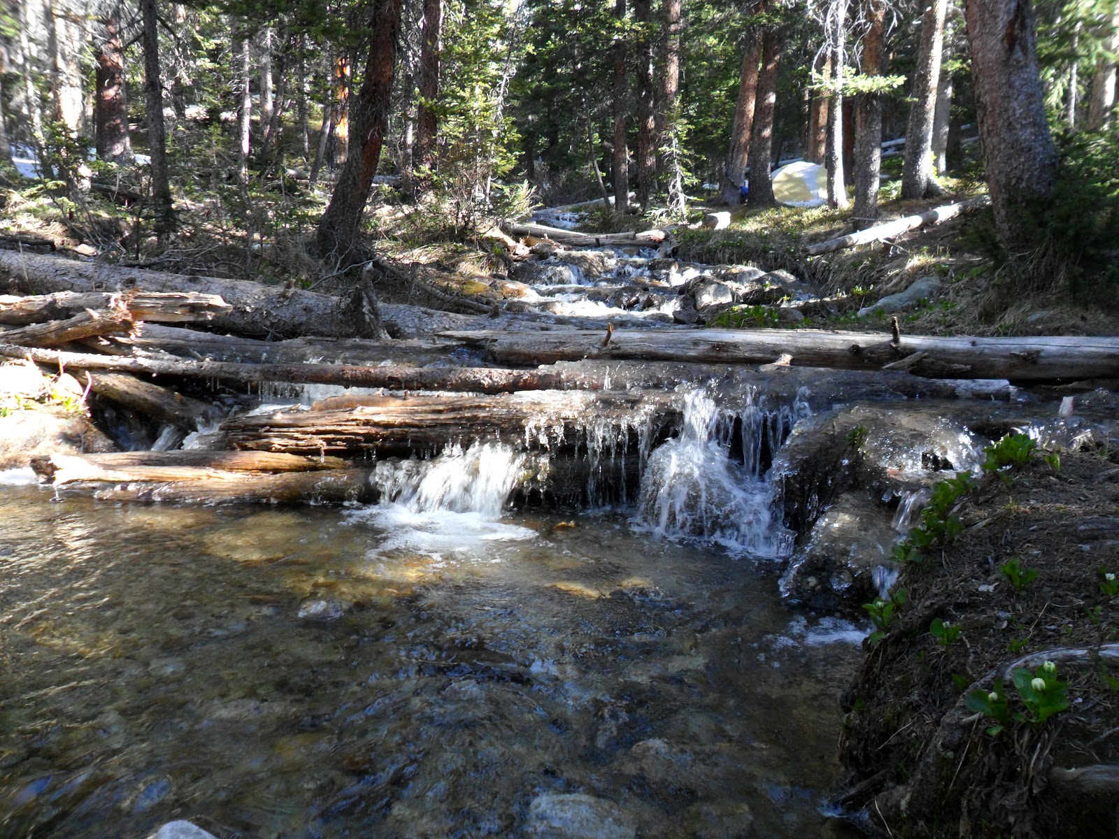
| The only real creek crossing on the last stretch. |
 |
| Four-star lodging at 10,500'. |
 |
| !!! |
 |
| A peak down toward the Arkansas River Valley. |
 |
| By now, I was absolutely exhausted. The last half-mile and the lack of +/- was much appreciated - each of the previous two miles coming off the low point of Yale's ridge had dropped over 1,000'. Real quad-busters. |
To the ultra-crowd: highly recommended run. If you're not looking to get in quite as much scrambling and rock-hopping, you could do this loop with Browns Pass instead of Yale's summit. That would likely put it at more like 21 miles and 5,500' climbing. I would recommend doing it either way if you're not planning on hitting Yale's summit. However, descending via Denny Creek allows you to maximize your running mileage. Done in the other direction, you would have to be much more careful with your footing on the descent.
To hikers: after getting a chance to soak in Yale from all directions, I would recommend this: do something other than the standard route! The northwest ridge from the North Cottonwood TH is doable as a day-trip and fairly straightforward. The trail to Kroenke Lake is beautiful and in good shape. The ridge itself doesn't have a trail, but it is scree-free. If you choose to do the east ridge, I would recommend coming from Avalanche Gulch and not Silver Creek. Silver Creek has a couple of rather unpleasant miles of trail - exposed to sun, kind of steep, just a trail on the side of a hill. Avalanche Gulch's approach is much more scenic.


Outstanding! Well done. I'm glad you took those pictures of Kroenke Lake as I'm planning on a weekend backpack trip and a little fishing there in mid-July.
ReplyDeleteSweet! Looking to get in something like this on Friday if interested (maybe).
ReplyDeleteExcellent beta! Thanks, Sean.
ReplyDeleteGreat photos and write ups Sean. Very inspiring and glad I found your blog.
ReplyDeleteIt looks amazing. I would love to go there. I have been looking a place to go with my friends and I hope that It is easy for amateurs.
ReplyDelete